|
Oct 23rd, 2010 at 9:59am
Thanks for the pictures:
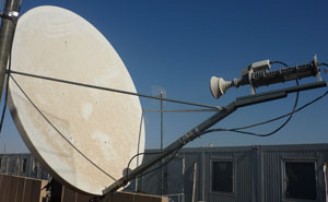
From: https://www.satsig.net/maps/satellite-dish-pointing-iraq.htm
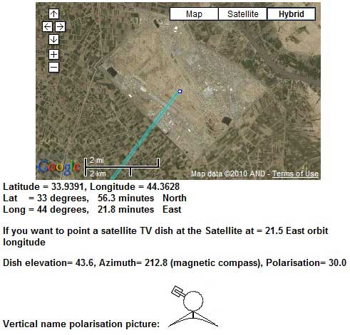
Note: AZ=212.8 magnetic compass El=43.6 Pol=+30
Elevation:
The readings on either side of your bracket differ.
44 > 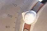
37 > 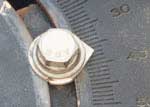
Maybe the difference is due to previous adjustment not being done evenly on both sides ?.
If you want to alter the elevation loosen slightly both scale screws AND both elevation axis bolts. Get someone to support the feed assembly whlle an elevation adjustment is made.
In this antenna example, there are washers with reference points that aim towards the scale readings. Some antennas use the metal edge behind the slot at the reference.
Polarisation:
Vertical means you start with the LNB arm sticking out sideways.
+30 adjustment means turn it clockwise 30 deg, while facing forwards towards the satellite in the sky.
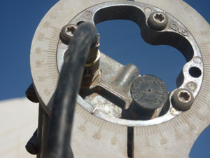
Your feed has been rotated +60 deg clockwise. (scale reads 30)
The way your polarisation is set is either:
Vertical with +60 applied or
Horizontal with -30 applied.
Neither is correct in my opinion. W6 is at 21.5 East, somewhat to the south west from you so the polarisation adjustment must be about +30 clockwise. Just look at the sky and think.
Azimuth:
If you have everything else right you should be able to swing the dish boldly between south and west and you will find the satellite at some point. A compass bearing of 213 will be an aproximate guide, but there may be errors of 20 deg either way due to local metal. Try comparing the angle of blue line with the edge of your roof.
General
Given that your system has worked previously I would leave the dish alone for the moment and try to find out what satellite it is pointed at by looking at the modem config.
HX modem
The command RF means Reset to Factory default. Before doing this what does the configuration show now ?
Best regards, Eric.
|