
If anyone is interested in creating a kml file for input to Google maps to draw a pologon I have explained what I am doing here:
https://www.satsig.net/satellite/export-kml-file-download-from-web-page.htm
To try it:
Go to that page and click to download the kml file to your Downloads folder.
then open Google Earth.
Then Add a Local kml file and select the one at the top of your Downloads folder.
The result is Google earth view of part of the USA thus:
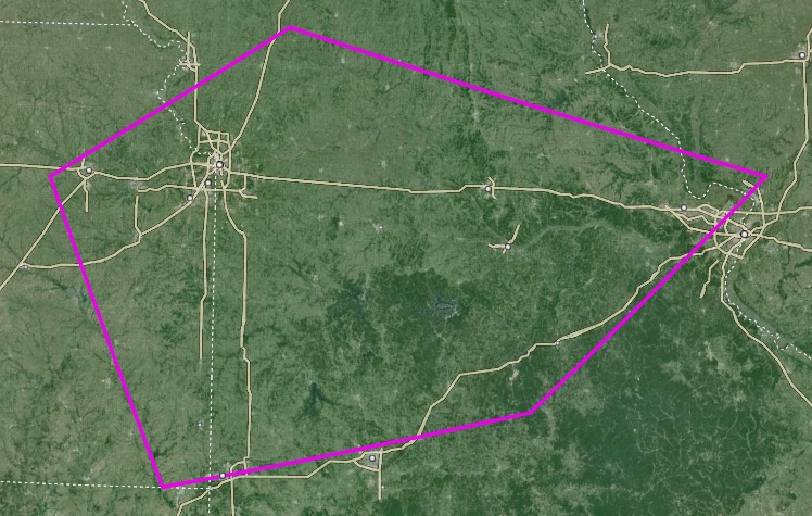
Attribution: https://earth.google.com/
This is work in progress as I hope to be able to add this feature to the satellite beam drawing program so you can save multiple polygons and open them all in Google Earth.
Comment please to me eric@satsig.net