Satellite maps: geostationary orbit views from 10 to 60 deg west longitude: Atlantic Ocean Region
View point height = 35786 km above the equator. Sub satellite point is on the equator at the same longitude as the satellite. Elevation angle to the satellite is zero at the map edge.
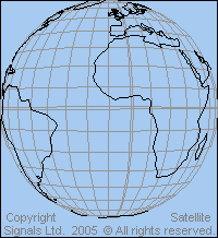 View from above 10 deg west longitude Ideal for UK, Spain, West Africa |
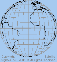
View from above 20 deg west longitude |
 View from above 30 deg west longitude |
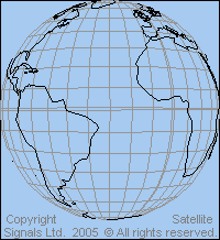
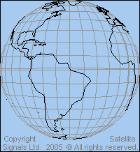
 View from above 40 deg west longitude |
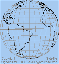
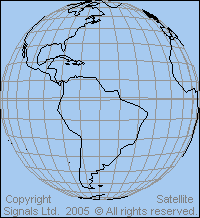
 View from above 50 deg west longitude Ideal for South America, Brazil |
 View from above 60 west longitude |
Atlantic Ocean Region ( AOR ) satellites provide for international communications links between Canada, USA, Caribbean and South America as well as Europe and Africa.
Links: Details of beam coverage maps for particular satellites for Europe
and satellites for America and the Caribbean
|
► Page created 4 October 2005, amended 18 Sept 2021, 10 May 2026. All pages on this satsig.net web site are Copyright Satellite Signals Limited © 2005 all rights reserved. |