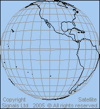
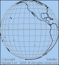
Satellite maps: geostationary orbit views from 70 to 120 deg west longitude: Americas and Pacific
View point height is 35786 km above the equator. The sub satellite point is on the equator at the same longitude as the satellite. Elevation angle to the satellite is zero at the map edge.
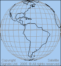 View from above 70 deg west longitude |
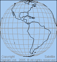 View from above 80 deg west longitude |
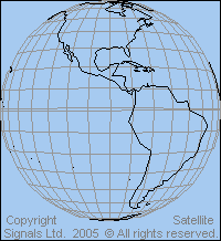 View from above 90 deg west longitude |
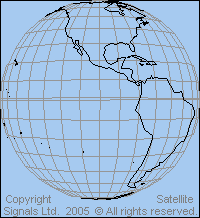 View from above 100 deg west longitude |
 View from above 110 deg west longitude |
 View from above 120 west longitude |
Satellites in the above orbital arc provide largely for domestic and regional communication between Canada, USA, Caribbean and South America.
Links: Details of beam coverage maps for particular satellites for America and the Caribbean
Map of the US showing satellite photo images and lat and long of your home
Satellite map of Canada with images and lat / long of your house
|
► Page created 4 October 2005, amended 6 June 2021, 27 Mar 2026, 10 May 2026. All pages on this satsig.net web site are Copyright Satellite Signals Limited © 2005 all rights reserved. |