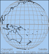
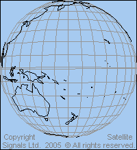
Satellite maps: geostationary orbit views from 120 to 170 deg east longitude: Asia Pacific
View point height = 35786 km above the equator. Sub satellite point is on the equator at the same longitude as the satellite. Elevation angle to the satellite is zero at the map edge.
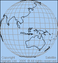 View from above 120 deg east longitude |
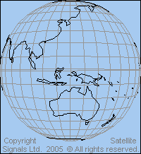
View from above 130 deg east longitude |
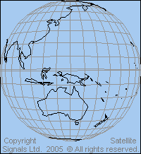 View from above 140 deg east longitude |
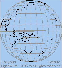 View from above 150 deg east longitude |
 View from above 160 deg east longitude |
 View from above 170 deg east longitude |
Links: Details of beam coverage maps for particular satellites for Asia and Australia
|
► Page created 4 October 2005, amended 6 June 2021, 10 May 2026. All pages on this satsig.net web site are Copyright Satellite Signals Limited © 2005 all rights reserved. |